
23 Apr 2024
BJ Small/CBF Staff
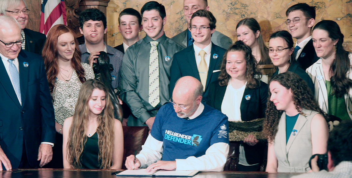
Shaped by a Salamander
Five years after their triumphant campaign to crown the Eastern hellbender as Pennsylvania’s state amphibian, former CBF student leaders are taking on the world of conservation, education, and law.
Read More