
24 Apr 2024
Morgan Jones
Does the Chesapeake Bay Get Allergies?
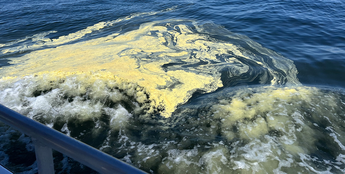
Every April, pollen becomes an inescapable part of life in the Chesapeake region. Trees, following their age-old instinct to reproduce, release puffs of this fine yellow-green dust. What does it mean for the Bay?
Read More